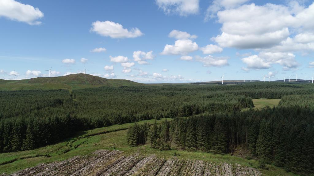
Galloway rivers interactive map
The link below gives access to an interactive map which summaries the distribution of salmon and trout in the main river catchments in Scotland.
The map also provides some information on the main factors limiting the distribution of salmon and trout in Galloway, as well as the main management actions which need to be undertaken to improve their abundance.
Understanding the distribution of salmon and trout and the factors which limit their distribution is vital for appropriate management actions to be undertaken. This broad overview highlights some of the key issues in each river sub-catchment area. It is important to note these summaries are general in nature and will not be appropriate for every water course within each area. For more detailed information on individual watercourses you should contact Galloway Fisheries Trust.
On the interactive map salmon and trout populations are described as:
Good
This suggests that in general, but not necessarily everywhere, the population densities are relatively healthy. They are likely to be close to the carrying capacity for the habitat available.
Poor
This suggests that in general, but not necessarily everywhere, the populations are lower than would be expected when considering the instream habitats present.
Absent
No individuals of this species are present.
This project was supported by an ‘International Year of the Salmon’ small grant via NASCO.

Latest News
Dans Third and Fourth Month as the GFT Intern
As December is right around the corner, I am sad to say that my internship here at GFT is nearly over. However, I am grateful for my experiences at the trust and there is still plenty for me to get up to before it does come to a close.
Exciting discovery in the Polmaddy Burn
GFT record first juvenile salmon within the Polmaddy Burn in over 25 years of juvenile fish data collection on the Kirkcudbrightshire Dee
Dan's second month as the GFT intern
Hello, Dan here again. Since my last blog I have been getting involved with a number of new things such as crayfish surveys, leading volunteers on habitat restoration works and helping to supervise works on the Black Water of Dee.