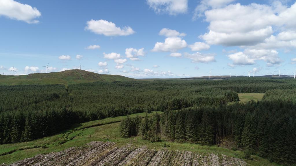
Galloway rivers interactive map
The link below gives access to an interactive map which summaries the distribution of salmon and trout in the main river catchments in Scotland.
The map also provides some information on the main factors limiting the distribution of salmon and trout in Galloway, as well as the main management actions which need to be undertaken to improve their abundance.
Understanding the distribution of salmon and trout and the factors which limit their distribution is vital for appropriate management actions to be undertaken. This broad overview highlights some of the key issues in each river sub-catchment area. It is important to note these summaries are general in nature and will not be appropriate for every water course within each area. For more detailed information on individual watercourses you should contact Galloway Rivers Trust.
On the interactive map salmon and trout populations are described as:
Good
This suggests that in general, but not necessarily everywhere, the population densities are relatively healthy. They are likely to be close to the carrying capacity for the habitat available.
Poor
This suggests that in general, but not necessarily everywhere, the populations are lower than would be expected when considering the instream habitats present.
Absent
No individuals of this species are present.
This project was supported by an ‘International Year of the Salmon’ small grant via NASCO.

Latest News
GFT 6 month internship available
A paid internship is available from July to December 2026 (26 weeks) to work with Galloway Fisheries Trust supporting various work programmes.
Sparling work update
Sparling, also known as European smelt, is one of the rarest fish in Scotland and they are only known to be present in three Scottish rivers. The River Cree supports a sparling population.
GFT 6 month internship available
A paid internship is available from April to October 2026 (26 weeks) to work with Galloway Fisheries Trust on the Solway Invasive Non Native Species INNS Control and Knowledge programme Phase 2